Note to self: images should be able to be put into full-screen/expanded mode
Lock 12 – Holtwood Dam – Osprey Nest 2.3 Miles (Airville, PA)
Lock 12 of the Susquehanna Canal. You’ll get views of Mill Creek Falls, Overlook of the Susquehanna River and the Holtwood Dam. You’ll get a great look with binoculars down at an Osprey Nest which sits on top of one of the power line towers.

Lock 12 – Holtwood Dam Details
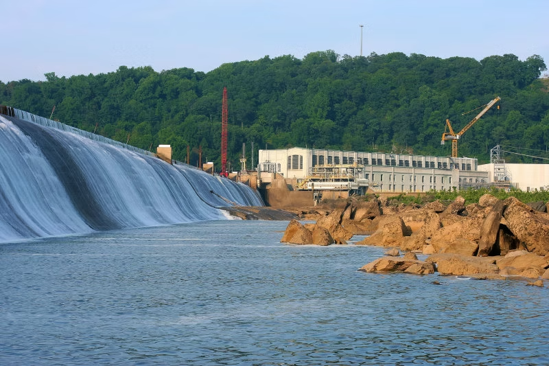
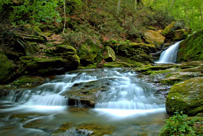
Lock 12 of the Susquehanna Canal. You’ll get views of Mill Creek Falls, Overlook of the Susquehanna River and the Holtwood Dam. You’ll get a great look with binoculars down at an Osprey Nest which sits on top of one of the power line towers.
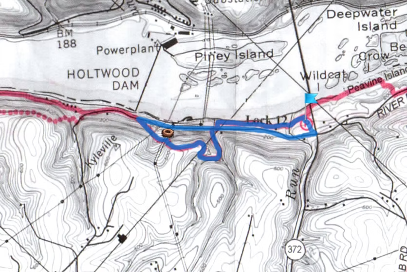
From the intersection of PA Routes 74 and 372, drive 2.2 mi east on PA 372. Just before the Norman Woods Bridge turn left onto River Rd (from the east, cross the bridge and turn right). Drive 1/4 mile to the small lot on the right.
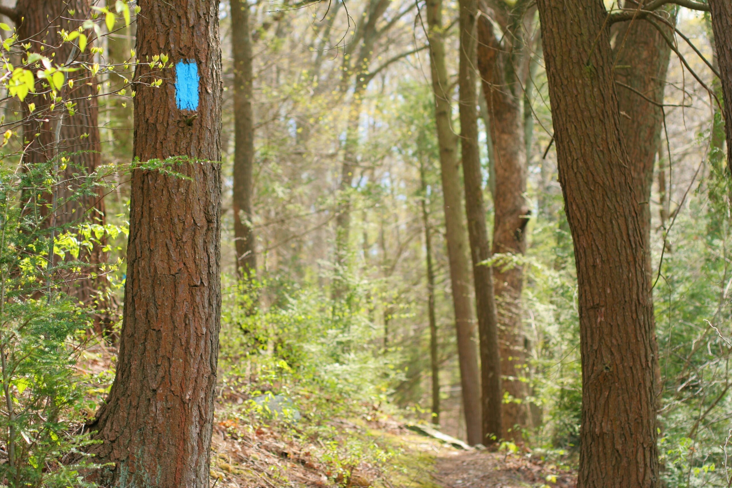
Hike downhill (towards the river) to Lock 12. The Mason-Dixon Trail crosses the lock (blue blazes). Follow the Mason-Dixon up river to where the trail passes the mill ruins, then crosses the creek by using River Rd bridge.
Turn left off of road and follow the trail along the creek, past the falls to stone steps. Climb the steps and hill, then follow the ridge for 0.2 mi to a great view. Proceed down the hill to the power line clearing. The osprey nest is on a power pylon down hill from the trail (from March to June the nest is in use).
After watching the osprey, proceed down the trail to the road and Holtwood Dam. Return to the parking lot by walking down river (south) on the road.
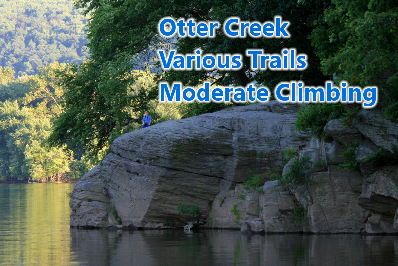
Various Otter Creek Trails (Airville, PA)
Otter Creek is located off of Furnace Rd near Airville, PA. The Otter Creek Campground is a nice place to start your hike, but you’ll need to pay for parking at the campground office. There is also a small gravel parking area off of Furnace Rd which is North of the campground.
Otter Creek Details
Note to self: linked page is broken – will need descriptions
- Furnace Run
- Otter Creek (east)
- Otter Creek (central)
- Urey Overlook
- Service road
- Otter Creek (north)
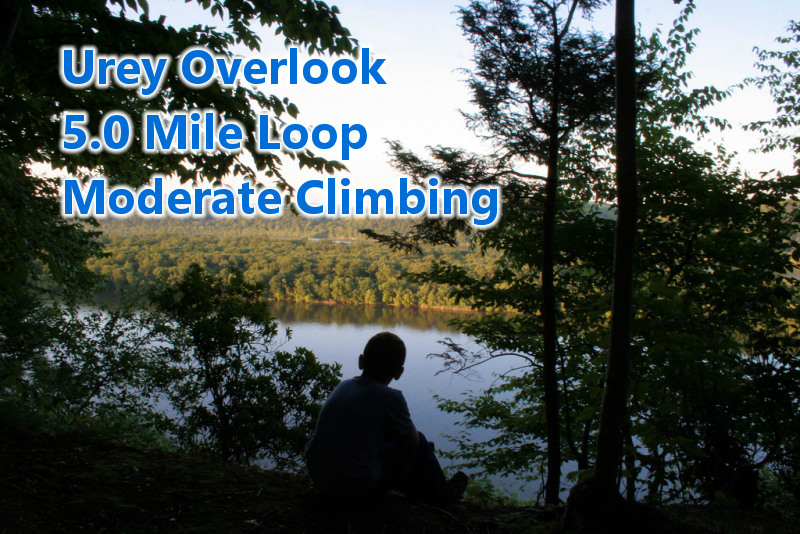
Urey Overlook – Otter Creek Loop 5.0 Miles (Airville, PA)
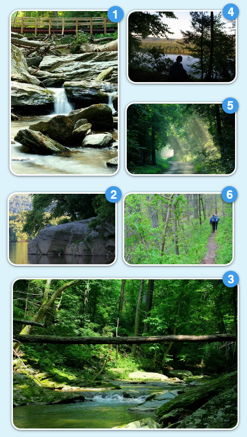
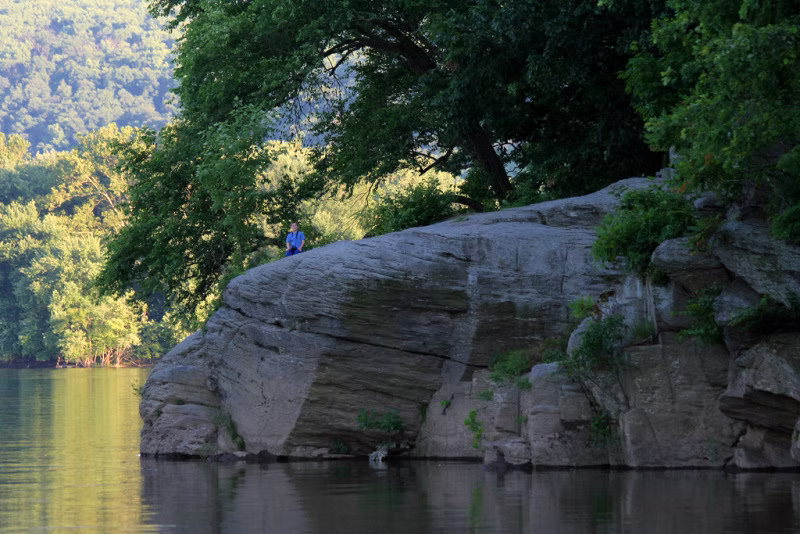
On this 5 mile loop hike you’ll get a great view of Susquehanna River at the Urey Overlook, and also a scenic stretch of the trail down along Otter Creek. This involves a moderate amount of elevation both up and down. It’s one of our most rewarding hikes on the trail and a great loop.
Urey Overlook Details
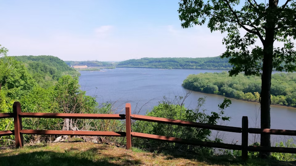
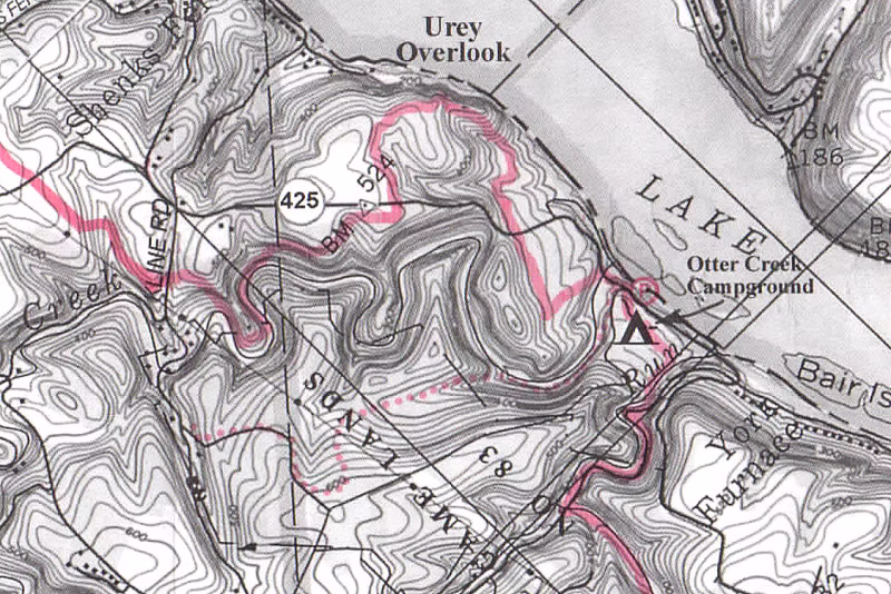
Highlights: Great view of Susquehanna River at Urey Overlook, a scenic section of Otter Creek.
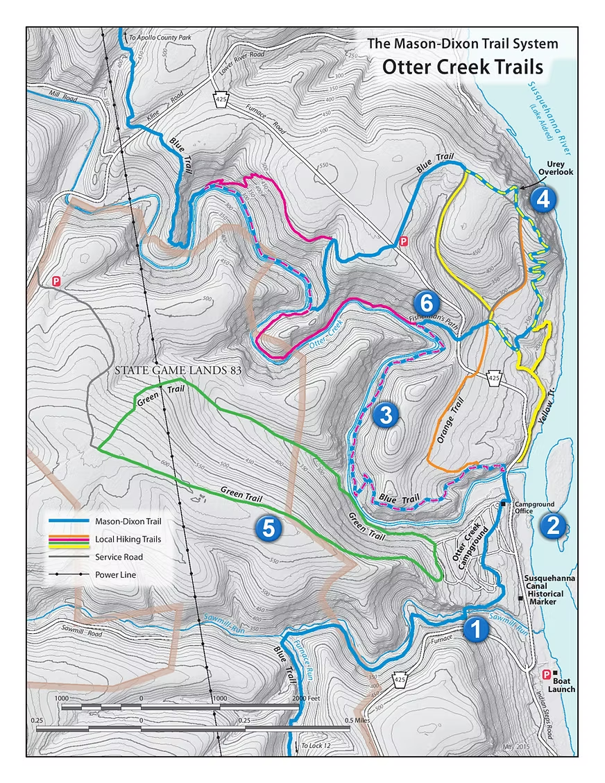
Getting there: Go down Rt 425 to Otter Creek. Park in the campground parking lot next to the river. If closed go down river to boat launch parking lot. You have to pay to park here, see the campground office for details. Otherwise you will need to park at the free gravel parking lot off of 425 and start there.
Directions: (MDTS Maps 4 and 5 and PPL map)
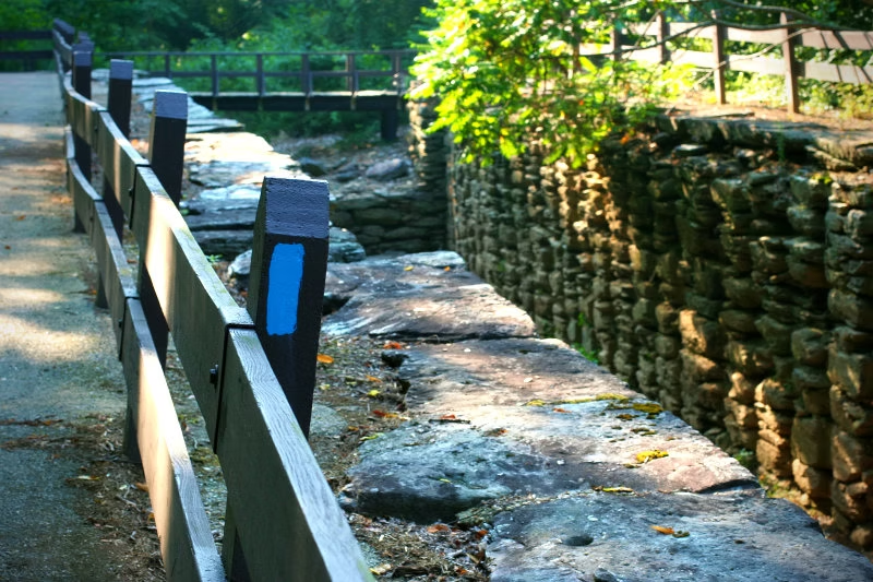
Cross Rt 425 Otter Creek bridge and follow blue blazes left over guardrail. Follow blue blazes; trail crosses road and then climbs up to Urey Overlook.
After enjoying the overlook, follow blue blazes away from the river and down to Otter Creek. This is a very enjoyable section. Pay for your view of Otter Creek by climbing back up to the ridge and then out to Kline Rd.
Leave Mason-Dixon Trail and turn left on Kline Rd.
Cross Otter Creek on road bridge. Climb up to a dirt game land road. Turn left and go up to game land parking lot.
Go under or around game land gate and climb up the road to the second clearing. Turn left. This trail goes down to the campground. Follow the trail until a trail goes off to the right.
Turn right and follow trail down to Saw Mill Run.
Cross stream and turn right onto dirt road. You are back on the Mason-Dixon Trail. Follow blue blazes. Trail turns left off of road and goes across a footbridge. Then the trail goes up to the campground. Follow trail by store and back to your starting point.
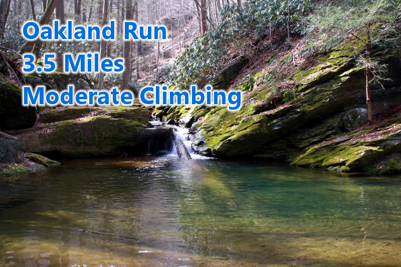
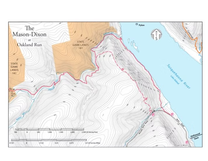
Oakland Run – Eagle Bypass Loop 3.5 Miles (Airville, PA)
Nice hike that stays cool in the summer where you’ll hike through the ravine of Oakland Run and walk along the Susquehanna River. You’ll walk paths through thick Rhododendron and see some picturesque cascading falls. The footing can be tricky along the stream so wear proper footwear. There are places where you may need to pull yourself up and over obstacles. Kids love this loop.
Oakland Run Details
Highlights: Susquehanna River, Oakland Run with waterfalls and Rhododendron.
Getting there: Drive south on Rt 74, turn left onto Rt 372. Just before the Norman Woods Bridge turn left onto McCalls Ferry Rd. Drive down the road until you pass Holtwood Dam.
You can download this hike to your mobile device for free from Avenza Maps.
Follow blue blazes (Mason-Dixon Trail) on the road upriver. The trail leaves the road to the right when McCalls Ferry Rd turns up hill.Follow the trail up river by various cottages and continue.The trail turns left to follow Oakland Run climbing through rhododendron.Turn left onto the yellow blazed Eagle Bypass Trail.Climb the trail up to the top of the hill and then down to McCalls Ferry Rd.When you get to McCalls Ferry Rd, turn left and proceed down the road to your car.
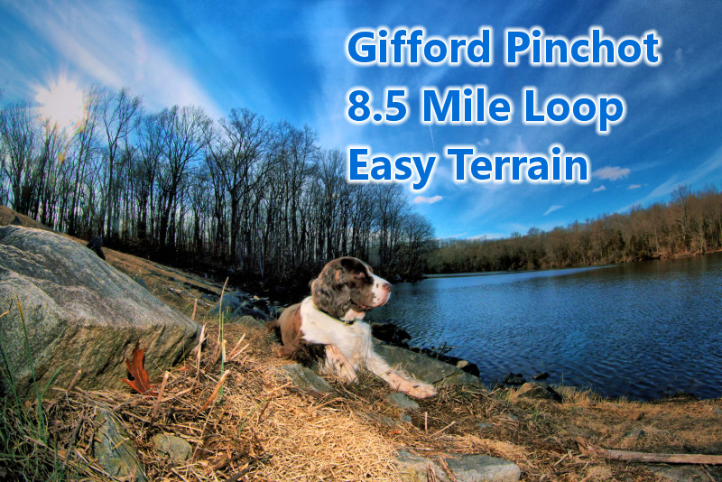
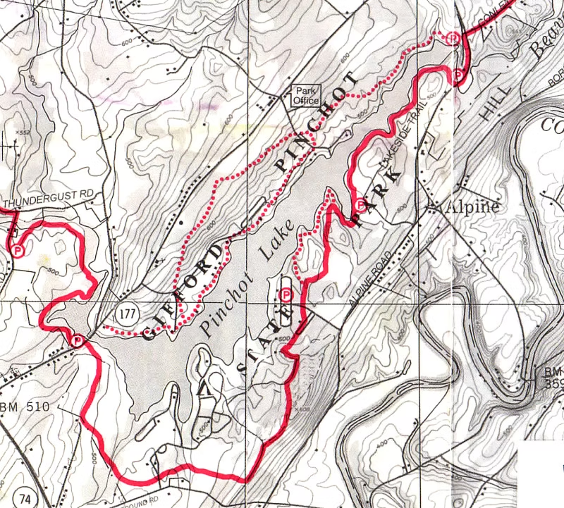
Gifford Pinchot State Park Loop 8.5 Miles (Lewisberry, PA)
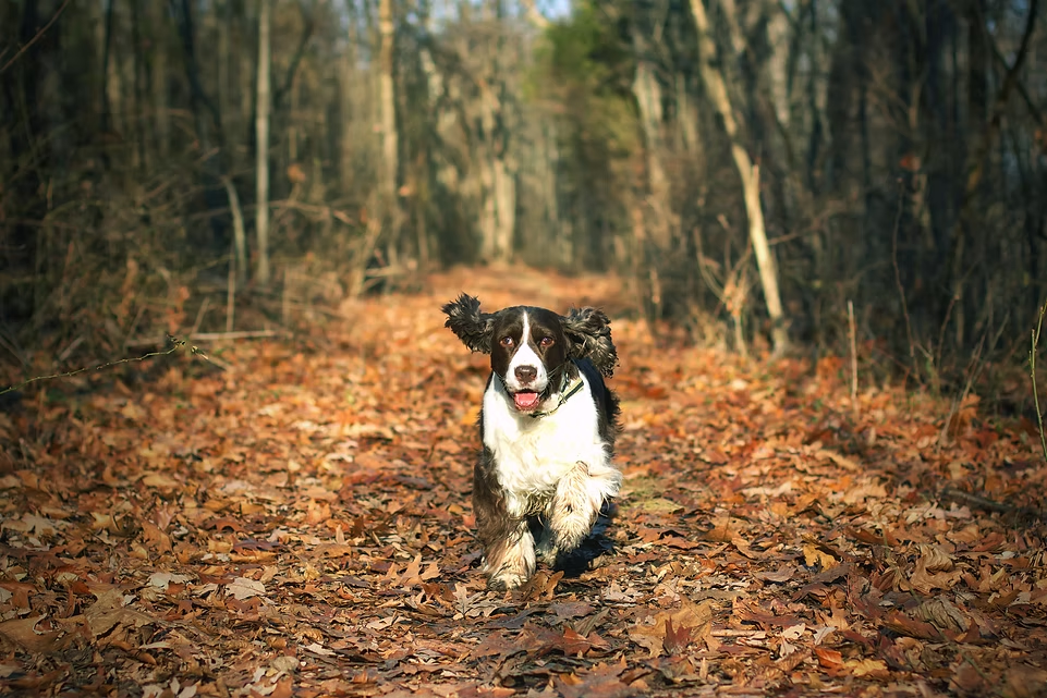
This hike circles the entire lake at Gifford Pinchot State Park. The terrain is very easy with very little elevation change. This is a great hike to bring the dog along, be sure to have your dog licensed and vaccinated as it is a State Park. You’ll follow the “Mason-Dixon Trail” for half of the hike and the park’s “Lakeside Trail” for the rest of the hike.
Gifford Pinchot Details

Highlights: Many good views of the lake. The description is a hike around the lake. Shorter hikes can be made by combining the various trails in the park. Trail description and a map is available on the state park web site.
Getting there: Go north/west on Rt 74 from York. In Rossville turn right onto Rt 177. Park at Boat Mooring 1 parking lot on the left just before the bridge.
Directions: (MDTS Map 2 and Pinchot State Park Map)
Mason-Dixon Trail goes through parking lot. Follow the trail east across the road. Follow blue blazes. The first section of the trail is the Lakeside trail, it then transitions to the Ridge Trail at the campground road. Continue through the park, following the blue blazes on various park trails until you get to the dam.
Turn left on the road, and follow the blazes across the bridge and then back into the wood. In a small parking lot on the north side of the dam, leave the Mason-Dixon and follow Lakeside trail around the lake. The trail ends up taking you back to the Boat Mooring Park where you started.

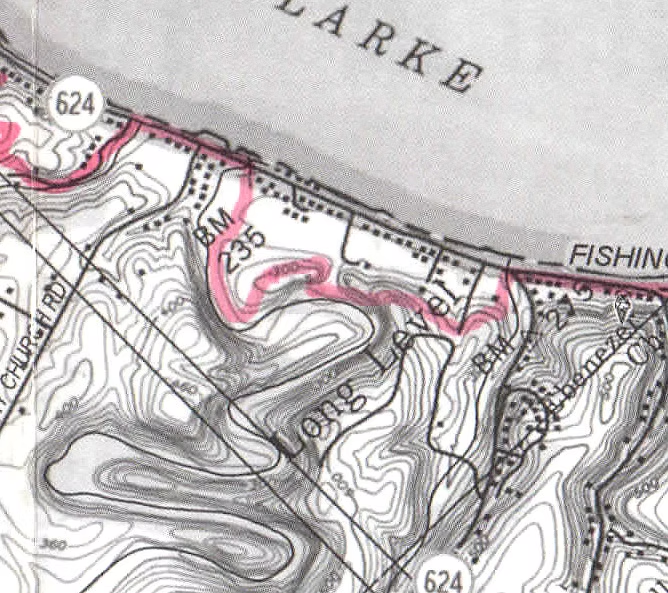
Devil’s Hole 3.0 Miles (Long Level Rd, PA)
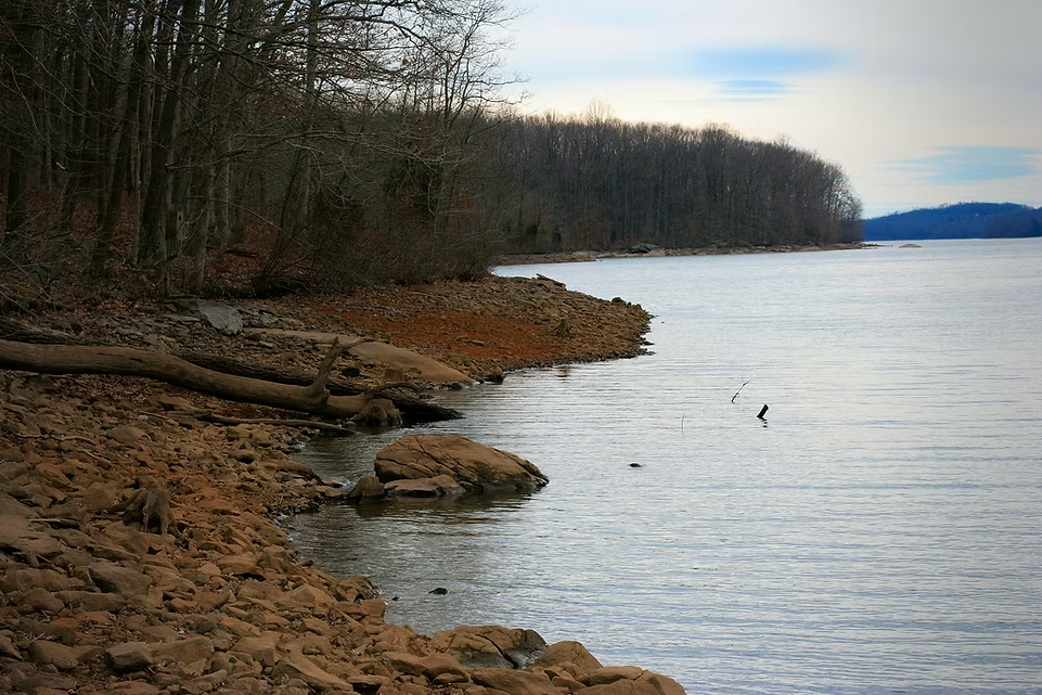
The name of this hike shouldn’t scare you, it’s one of the easiest loops you can do on the trail. The trail passes through a local park with ball fields and brings you back along a scenic stretch of road where you’ll get some amazing views of the Susquehanna River. There’s a Bald Eagle’s nest in this area and it’s very common to see one of them flying around. This is a beautiful morning hike as the sun rises on the river.
Devil’s Hole Details
Highlights: An easy section with great views of the Susquehanna River in the winter. Views of Cabin Creek.
Getting there: Go south on State Rt 624 from Wrightsville. When in the Long Level section turn right into the ball fields and park.
Directions: (M-DTS Map 4)
Go upriver through the fields almost to Cabin Creek. Watch for blue blazes. Turn left onto Mason-Dixon Trail.
Follow directions on map until you get back to Rt. 624. Then turn right. To avoid walking on the road, after crossing stream on bridge, you can cut inland thru the Safe Harbor property and end up going behind the cabins back to the ball field and your car.
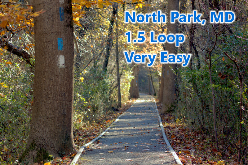
North Park Loop 1.5 Miles (Havre De Grace, MD)
This easy hike is family friendly and provides some other activities such as the Susquehanna Museum, a swing bridge and a playground for the kids. The trail takes you through a historic area of Havre De Grace and follows the path of three trail systems; The Mason-Dixon Trail, North Park Trail and the Lower Susquehanna Heritage Greenway Trail.
Note to self: linked page is broken – will need descriptions
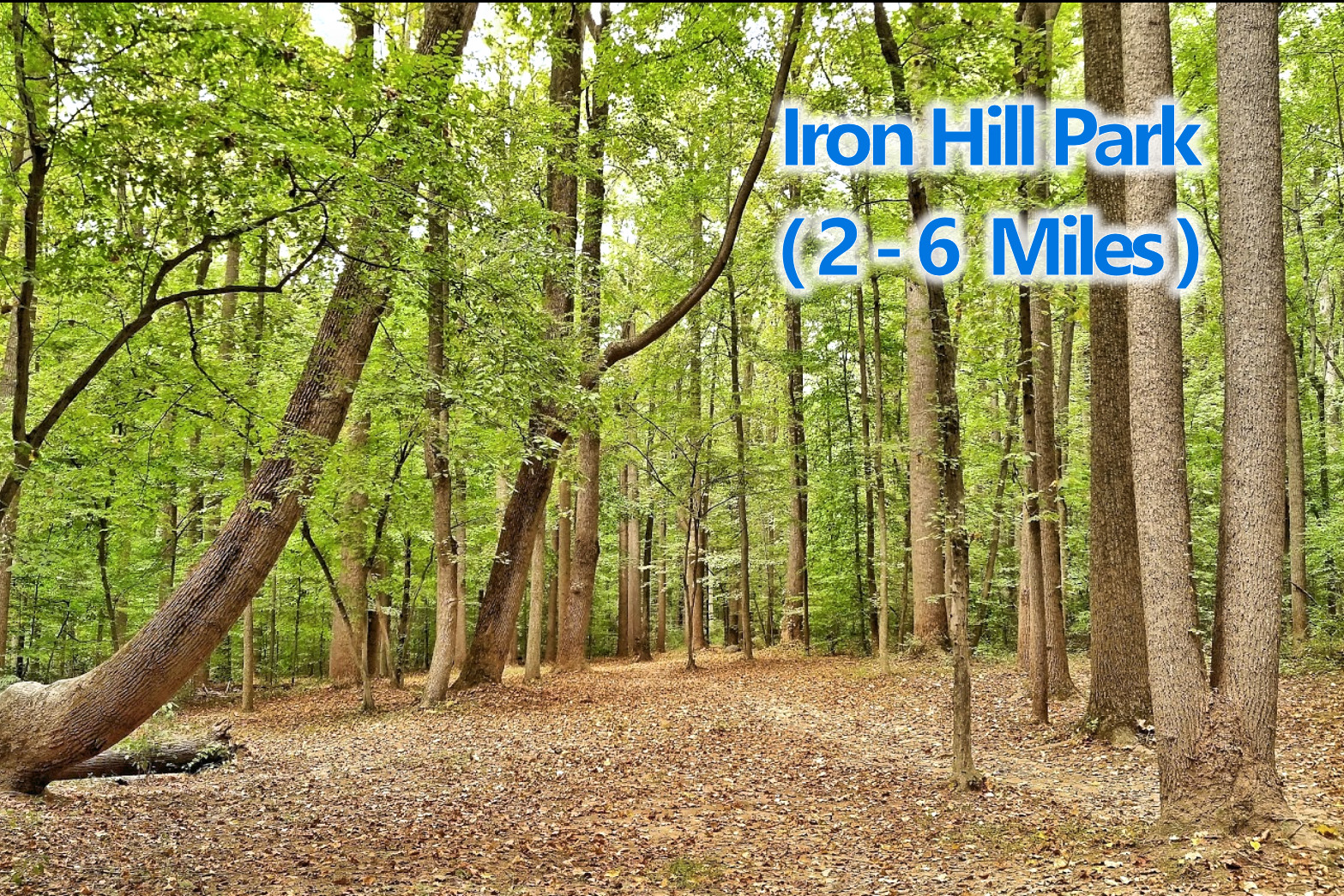
Iron Hill Park / M-DT 1.4 – 2.3 Miles (Trail Newark, DE)
This park hosts a section of our trail system but also offers Disc Golf and a science center and museum. Mountain Bikers use trails in this park so keep a look out. There’s also a nice dog park and a playground for children.
Note to self: linked page is broken – will need descriptions